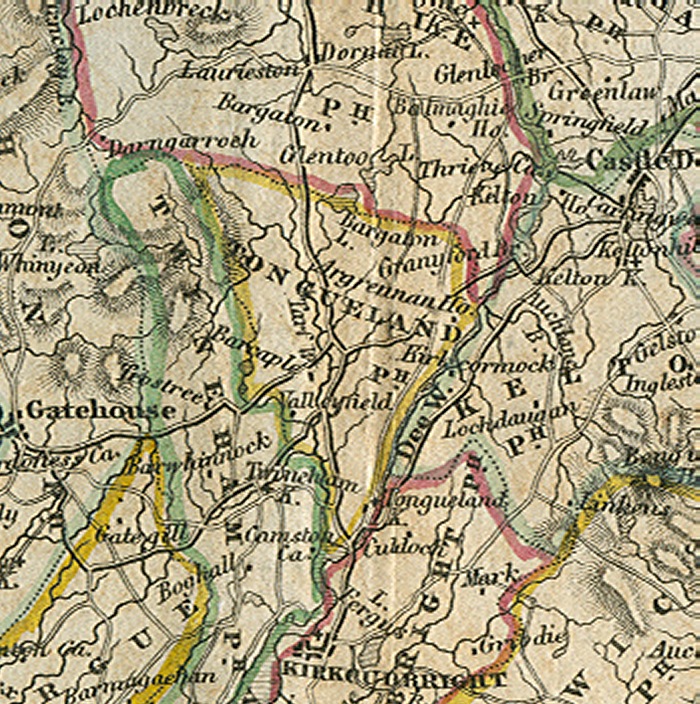
Click map to enlarge
The Parish of Tongland.
Placenames
The placenames index for this parish is accessed via the menu on the left. Links from there open up access to various historical and modern maps indicating where the place is to be found as well as links to other historical information and photographs if we have them.
References
Extensive historical information, particularly in the form of scanned books, is becoming available on the Internet.
In this section we have begun listing links to this information relative to this parish.
Old Postcards
Thanks to a Victorian hobby of collection topographical postcards many old views from within the parish are available today. This section contains an ever growing
selection from those we have available.
The Parish of Tongland. This small parish occupies a triangular piece of land with its southern apex formed at the meeting of the rivers Dee and Tarff. The original spelling of the name of the parish was Tongueland and it seems likely to have been derived from its form as a tongue of land extending southwards between the two rivers. Local people still pronounce its name in accordance with the old spelling and it seems strange that it has been altered to its present form in relatively recent years. At the tip of the southern apex sits the magnificent Tongland Bridge designed by Thomas Telford and built between 1804 and 1808 when it was noted for being the largest single span stone arch in Scotland.
The area of the parish is 6138 acres, roughly half of which is arable land, meadow or pasture, the remainder being woodland plantations, moorland or waste ground. The soil is mostly fertile and in some areas such as the valleys of the Dee and Tarff it is particularly rich. Agriculture is the occupation of most of the inhabitants who are of working age, but the industry has undergone many changes in Tongland as in all other parts of Dumfries and Galloway. These changes have resulted in a greatly reduced workforce, and in the conversion of many former farm workers’ cottages to holiday or retirement homes.
The only concentrations of population are in the two villages of Tongland and Ringford. Ringford village close to both the river Tarff and the main Kirkcudbright to Castle Douglas road is mainly linear in form but consists entirely of housing, its school and shop having both closed.
Tongland village has a partly linear form along both sides of the main Kirkcudbright to Castle Douglas road, but also has a cluster of houses close to the edge of the river Dee and to the few remaining traces of the 12th century Abbey of Tongland. The village has long since lost its past industries which included the manufacture of artificial silk, biscuits, and motor cars, but the power of the River Dee is still harnessed by the Galloway Hydro Electric scheme’s Tongland dam and power station, between which the village is sited. Electricity has been generated at Tongland since 1935, supplying both local needs and those of the national grid. Tongland today has no facilities, having lost its church and its garage, but it does retain a strong community spirit and with the recent introduction of a speed limit on the main road, it has gained a clearer identity as a settlement and even some modest expansion.
Tongland is the base for a very large and successful fencing contractor who is a significant employer in the vicinity. A large quarry just to the north of the village supplies road stone and gravel. The combination of these two industries with the Hydro Electric Scheme must make Tongland village one of the very few places in Galloway that is capable of employing more people than it can accommodate.
David R. Collin 2010